Shimanami Kaido
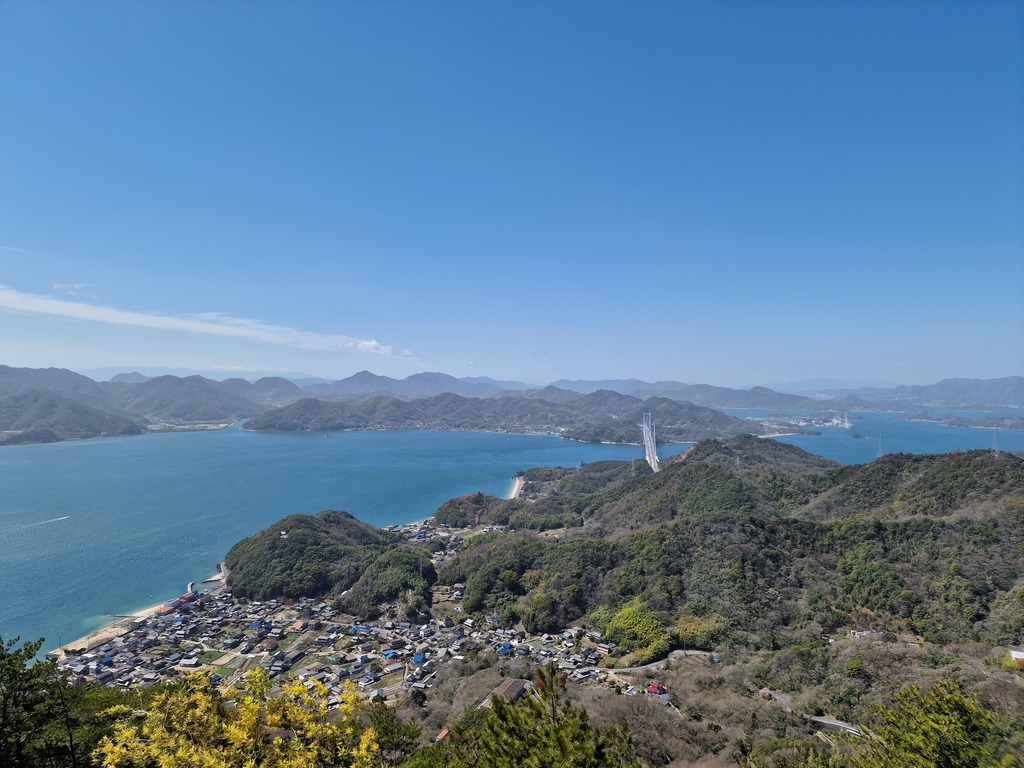 The view from the Takamiyama viewpoint.
Shimanami Kaido is a super popular cycling road connecting Honshū with Shikoku, taking across several islands with quiet roads, big bridges, and beautiful nature. There is a lot of information about this cycling route out there, so I’m not going to go into detail about it, other that what my experience riding it was. If you want to read more about Shimanami Kaido I recommend checking out VisitShimanami.com or Japan-guide.com.
Verdict (TL;DR)
I had a really nice time on the Shimanami Kaido. It was the first two days of a three week trip, so it really set the mood for the rest of my journey. The navigation is easy, roads are good, there are interesting sights to see, and plenty of places to eat. I spent two days on the trip, but I could have easily spent another day or two, to see more of each island, or visit the smaller ones where you need to take a ferry. You could also do the ride in one day, but then you probably won’t have time to stop as much.
The route
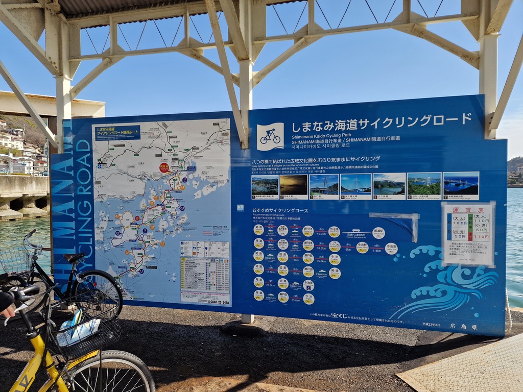 There are plenty of maps on the way showing the route, and where you are.
My trip on Ride With GPS.
I followed the most popular route for the most part. Since I wanted to spend two days on this leg of the trip, I found some accommodation on the fourth island. This gave me a good opportunity to visit three small museums, Tokoro Museum, Toyo Ito Museum of Architecture, and Ken Iwata Mother and Child Museum. I also wanted to visit some of the lookout points, so I battled my way up two steep hills!
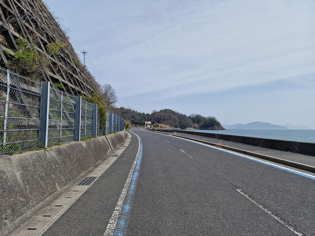 Most of the roads on the Shimanami Kaido have a blue line or blue arrows signaling to cars that they are sharing the road with cyclists.
Transportation
I started my trip in Onimichi, and you can take the train from all the major cities in Japan. If you would like to start your trip in Imabari and cycle north, there are several different routes to take:
- boat from Hiroshima to Matsuyama, and then the train to Imabari
- spoil the Shimanami Kaido by taking the bus from Onimichi
- take bus from Osaka through Shikoku to Imabari
In short, starting in Onimichi is probably easiest if you’re not already on Shikoku.
PS: You need a rinko bag (輪行袋) to bring you bike on most transportation in Japan.
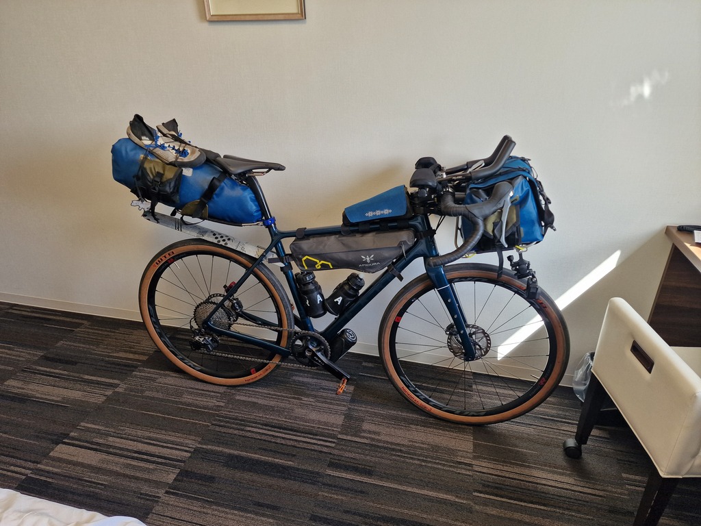 My packed Fara bicycle, ready for Shimanami Kaido and all the way around Shikoku.
Challenges
Not many hurdles for a route this popular. I was outside the tourist season, so not that many other cyclists, even thought it was a weekend. You should remember to finish early so that you have time to wander around and get something to eat before restaurants close for the night. Some of the smaller cities may have shorter opening hours than what you are used to in the bigger cities.
My trip
Day one - Onomichi to Ōmishima
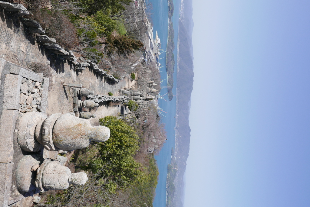 These types of statues are supposedly called arhats
Still jet lagged from a 20 hour trip starting way too early back in Norway, I start my cycle trip just before ten o’clock. First on the agenda is to take the ferry over to Mukaishima, the first of many islands.
It’s a cheap and quick fifteen minutes ride. I wasn’t the only cyclist aiming for cycling the Shimanami Kaido this weekend.
Next on the agenda is to get to Takamiyama viewpoint (高見山展望台), for a great view of the coming islands! It is a steep hill to get up, but it’s worth it. On the way down I stopped at a cozy chocolate factory (Ushio chocolate). Great place to rest for a bit and taste some fresh Japanese chocolate.
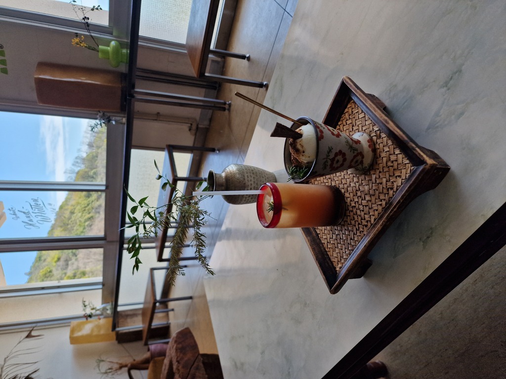 Great local ice cream and iced coco while lounging in a sofa.
On my way to the first bridge I passed a pancake restaurant, so I had to stop for some more food. The first bridge had the walking and cycling path underneath, so it wasn’t as noisy as the others would be.
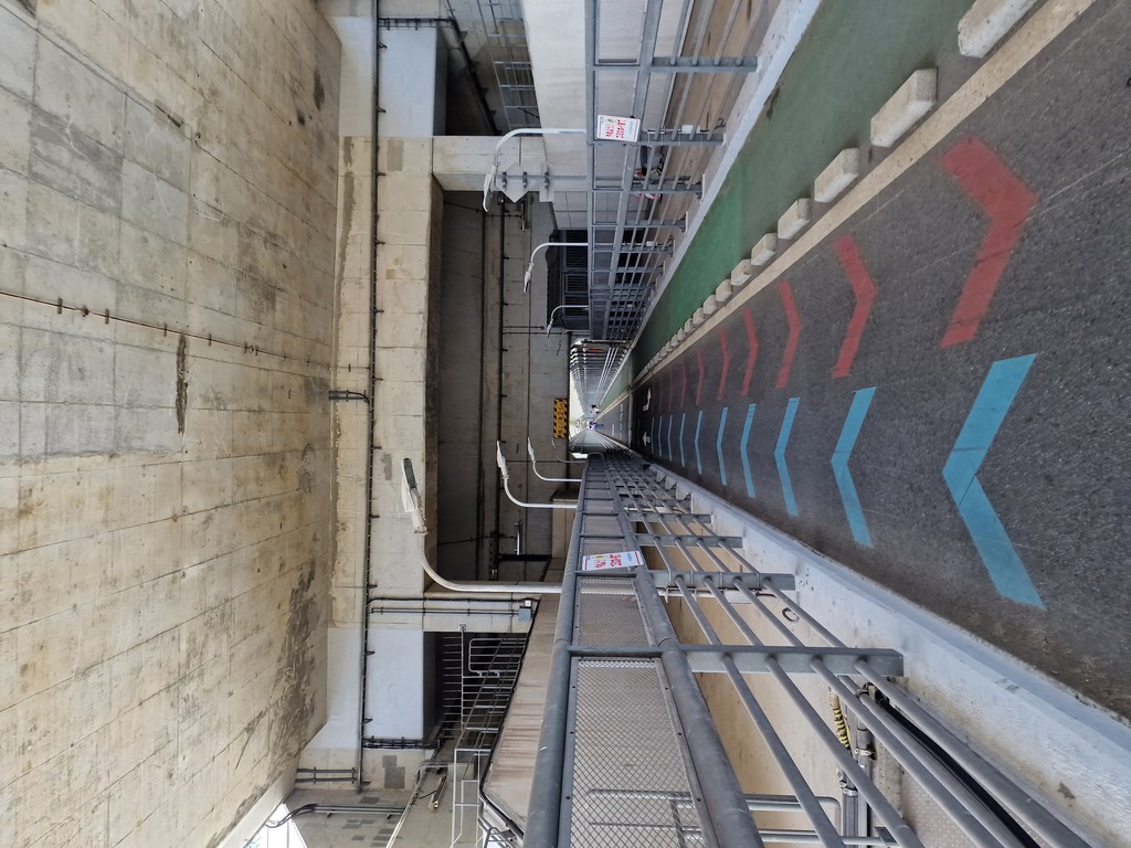 This was maybe the nicest bridge on my trip, and not that noisy since the car are on the top.
Next island was Innoshima island where I visited a temple with five hundred arhats on Mt. Shirataki. Yet another steep hill to climb, with an equally great view.
I also visited a flower center, but as it was early in the seasons, not much was blooming. It was also here I managed to delete my Garmin activity, since I hadn’t yet learned about the lock-screen button.
Afterwards it was on to the next island, Ikuchi, where I visited quite a big temple! The temple had an underground cave with supposedly 1000 Buddhas placed around. Next to the temple was the Hill of Hope, which was a marble attraction with statues on top of a small hill.
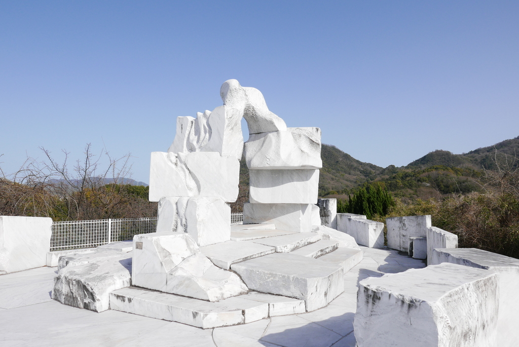 The marble is shipped all the way from Italy!
Before continuing on my bike I tried some orange ice cream with carbonic acid, and visited a lemonade café. The café had vegan “chicken” wings, and omelet in sausage bun with lemon tasting mayonnaise. The lemonade was really good, and I enjoyed the omelet, but the wings were so-so.
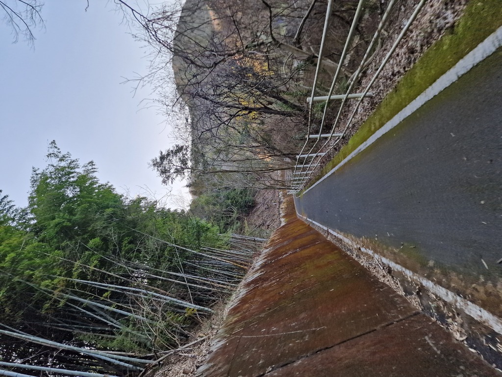 Japan is full of these small roads, some of them are for cars, but this one was just for bikes.
The last trek of the day went to Ōmishima island, where I was staying at Tomarigi Hostel (大三島 素泊り茶房 トマリギ). As I got to learn on this trip, a lot of the small cities closes pretty early. So when I arrived at six o’clock I didn’t have all the time in the world before everything closed at half past seven. Still, I managed to visit the local onsen, which was quite big for this size of the city, the local brewery, and eat at Café Sando. Turned out the café didn’t close ‘til later, so I could had taken it slower. Omishima Brewery (大三島ブリュワリー) had a nice selection of beers on tap, and I could buy some to go that came in aluminum bottles, which was a first for me.
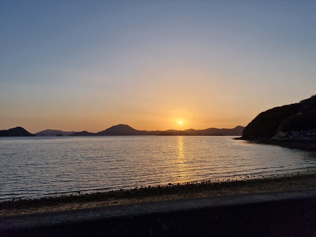 I should watch the sun set more often.
Day two - Finishing in Imabari
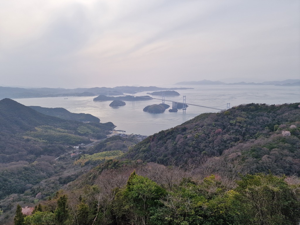 The last bridge of Shimanami Kaido, it’s pretty long.
Yet another night with not the best sleep, probably because of the jet lag. Got up around nine o’clock, and ate breakfast at the same cafe as I had dinner last night.
I had my first and only mechanical accident this morning! Had barely cycled five kilometers before my gear suddenly shifted all the way down to the heaviest gear. Turns out the wire for my rear derailleur had loosened itself. Luckily I was near some gardening or farm, so I was able to coast down to some workers who looked like they where on a break. They had some pliers which I could use to hold the wire while I tightened the bolt. So for my next trip I need to bring pliers, or some multi-tool with pliers.
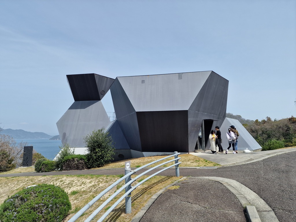 Of course a museum of architecture has a really interesting building!
The rest of the day luckily went smoothly, with no more accidents. Next stop was Tokoro Museum Omishima (ところミュージアム大三島) with different modern art in a pretty cool building with a beautiful view of the ocean. The building was built in a slope, so each floor was like a big staircase leading down to a viewpoint of the ocean. Just down the road from it was Toyo Ito Museum of Architecture (今治市伊東豊雄建築ミュージアム), which had a local exhibition about one of the nearby towns.
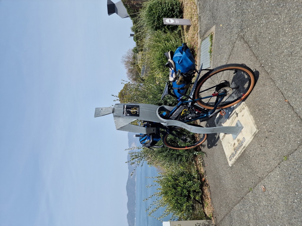 As I did a lot, this bike stand also looked pondering out on the horizon.
On the parking lot of the museum of architecture I found the first of six 6人のシクロ・ツーリスト, which are “human sized” bike stands. I forgot to look for all six of them on my trip, but I still found four of them!
Cycling on, I visited Hirakiyama Park (開山公園) which looked really beautiful in full cherry blossoms, in the pictures, the blossoming hadn’t really started when I got there. What I did find was a long and steep slide! I wasn’t sure if it was safe, as it looked a bit old, but when two older people tried it before me I just had to try it myself! One thing I didn’t factor in, is that my bicycle shorts are made of lycra, and lycra slides really well on metal! No harm done, but it was a bit scary!
Cycling to Hakata Beach (伯方ビーチ) for my lunch break I found another one of the シクロ・ツーリスト (cycle tourists).
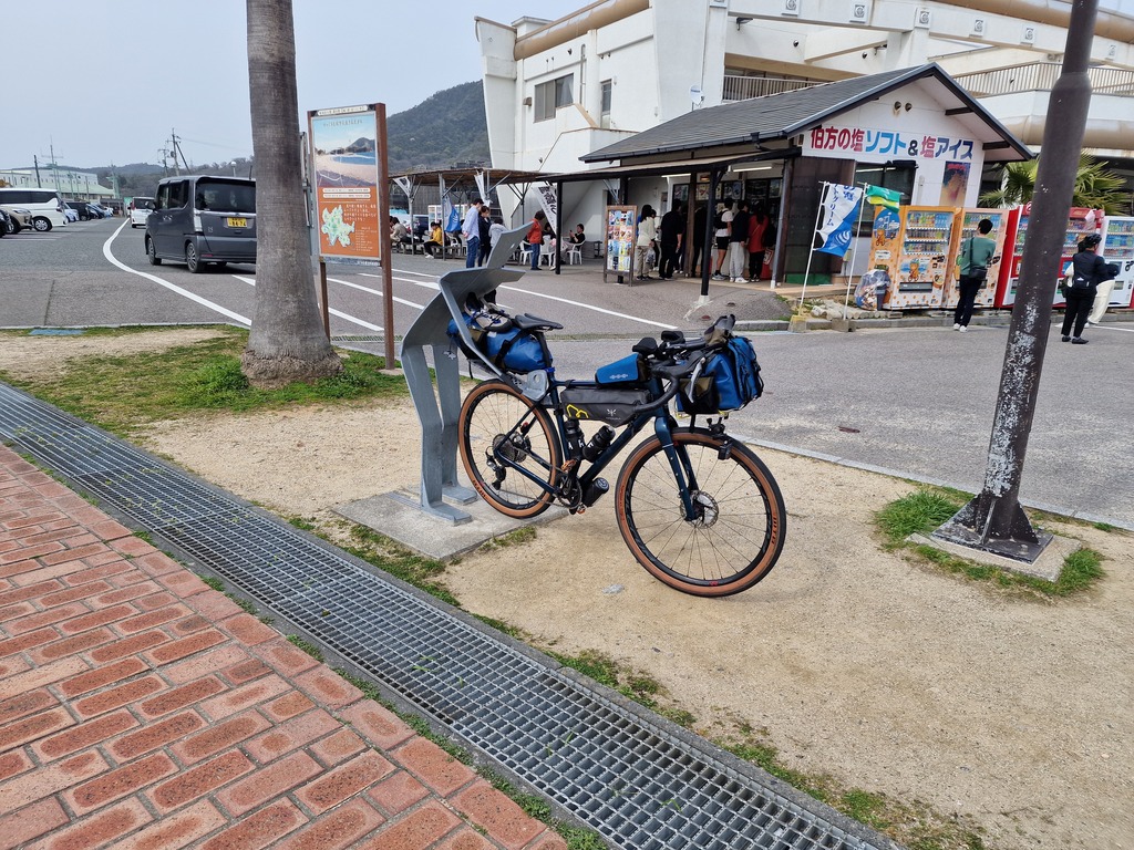 This was one of the easier one to use with my setup.
After lunch it was time for the last steep hill up to Kirosan Observatory Park (亀老山展望公園). It’s hard cycling 10% incline with my bikepacking setup, but time and perseverance gets you up. I even managed to buy some snacks before the kiosk closed, as it was getting late in the day. Even though it was not the best visibility, the view from the top was really nice (as seen on the first image of this day).
When I was done admiring the view, it was time to head down and ride the Kurushima Strait bridge (来島海峡 第橋). This is the longest bridge on the Shimanami Kaido, spanning four kilometers, and it took over ten years to build!
Finishing the bridge meant that I had finished the Shimanami Kaido, and could start my trip around Shikoku!
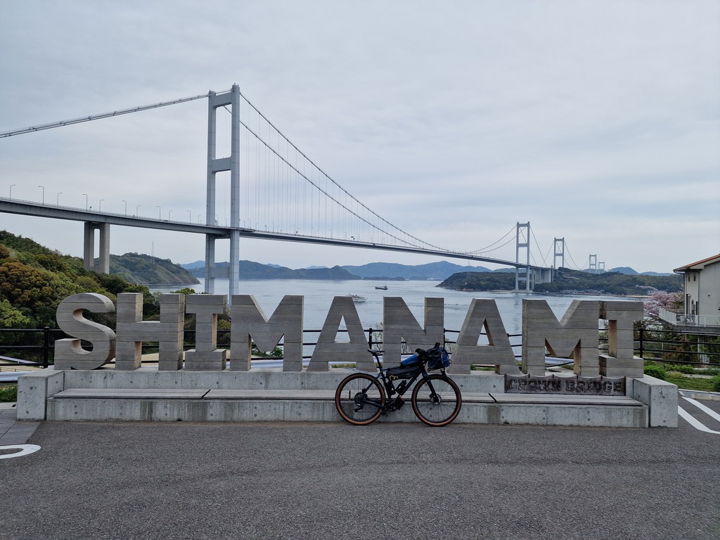 This picture was taken when I finished my trip around Shikoku, but it’s a good ending to the Shimanami Kaido too!