Villmarksvegen
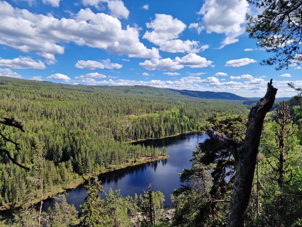
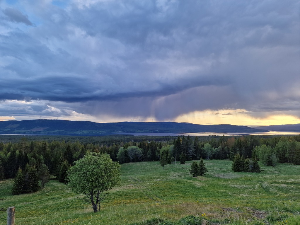 Racing against the clock before the rain sets for the night.
I had an impromptu biking trip this year’s Ascension Day, I knew that I had four days with no plans, and with a bad elbow I couldn’t join my friends climbing. So the weekend before the trip I started searching for routes. I’ve looked at Finnskogen several times before, and this time I wanted to finally get an overnight in that huge forested area bordering Norway and Sweden. While I was looking at trips in Finnmarkskogen I found the national cycling route number 9, that went thought most of that area, plus some more. I’ve known about the national cycling routes for a long time, but haven’t really thought much about them, as they all require a lot of transport to get to the start. So I thought, why not?
Verdict (TL;DR)
It was a really nice trip, and I’m really glad I did it! As you will see in the next section, I’m not sure I would recommend exactly the same trip, especially if you like gravel. The last day is just tarmac, and you miss a pretty sweet gravel road over on the Swedish board.
Going early in the summer was nice, as there weren’t tha many mosquitoes or black flies (gnats). There can be a lot of them in the forest in the summer.
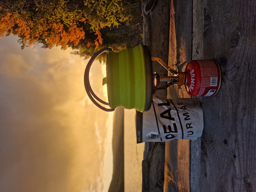
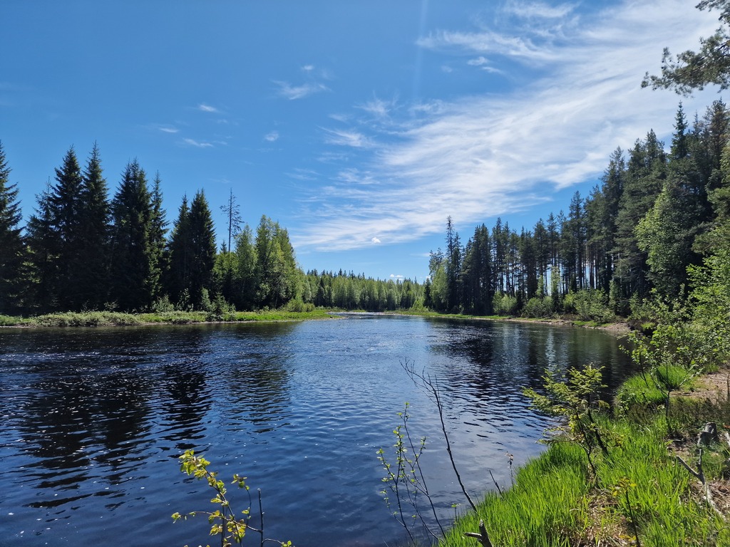 My lunch spot the second day of my trip.
The route
Villmarksvegen is one of several national cycle routes in Norway, sadly I can’t find much English information about it, but I’ve posted two links at the bottom of this section. It follows the Norwegian and Swedish board closely, but it never crosses over. Most of it you’re cycling in the forest, the other part you’re cycling through rolling farmlands. There are not many cars, or people the first 2/3 of the route. That means that there also aren’t many stores, so you need to be prepared to bring your own supplies, and stock up where you can.
The original route has less gravel roads than I wanted, so I have made some tweaks to maximize the route while staying in Norway, ending up in Halden. If you would like just ride gravel, and would like to visit Sweden too, I’ve made an alternative in RideWithGPS - Villmarksvegen Gravel Edition.
You can also check out my version of Villmarksvegen below. I’ve marked most of the shops, and some of the places where you can stay the night. There are several lean-to (gapahuk in Norwegian) that are excellent places to stay. Some of them even had an outhouse (toilet) nearby.
You can do this trip both directions, but I would recommend starting in Trysil. There is only one direct bus from Oslo, but a train every hour from Halden. Since it’s easier to plan when you start, than when you are finished, Trysil to Halden is the way to go. By starting at Trysil you will also start at the highest point, so you’re kind of cycling downhill all the way (even thought there are plenty of hills). The one negative is that you will be cycling mostly in a head wind, but since you are covered by the trees, it’s mostly not a problem.
About all of the national cycle routes Directly to Villmarksvegen
Transportation
If your starting point is around Oslo, either taking the bus to Trysil (as I did), or the train to Halden, are your best options. If you arrive by plane (read: Oslo Airport Gardermoen), Trysil is definitely the easiest option, as the express bus from Oslo stops at the airport.
Challenges
The biggest challenge was that you need to bring your supplies, and there are long stretches between supply points. There is also just one bus going to Trysil each day, so you end up starting your trip a bit late in the day.
Trip report
Day one, 32km,526m - Bus to Trysil, late start
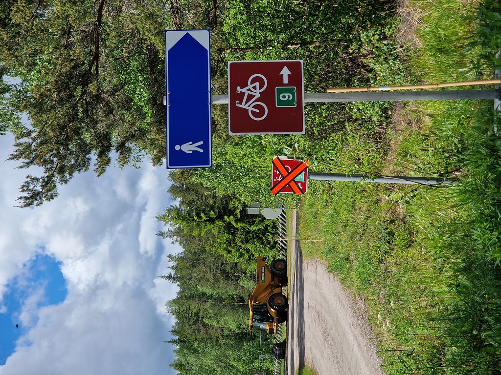
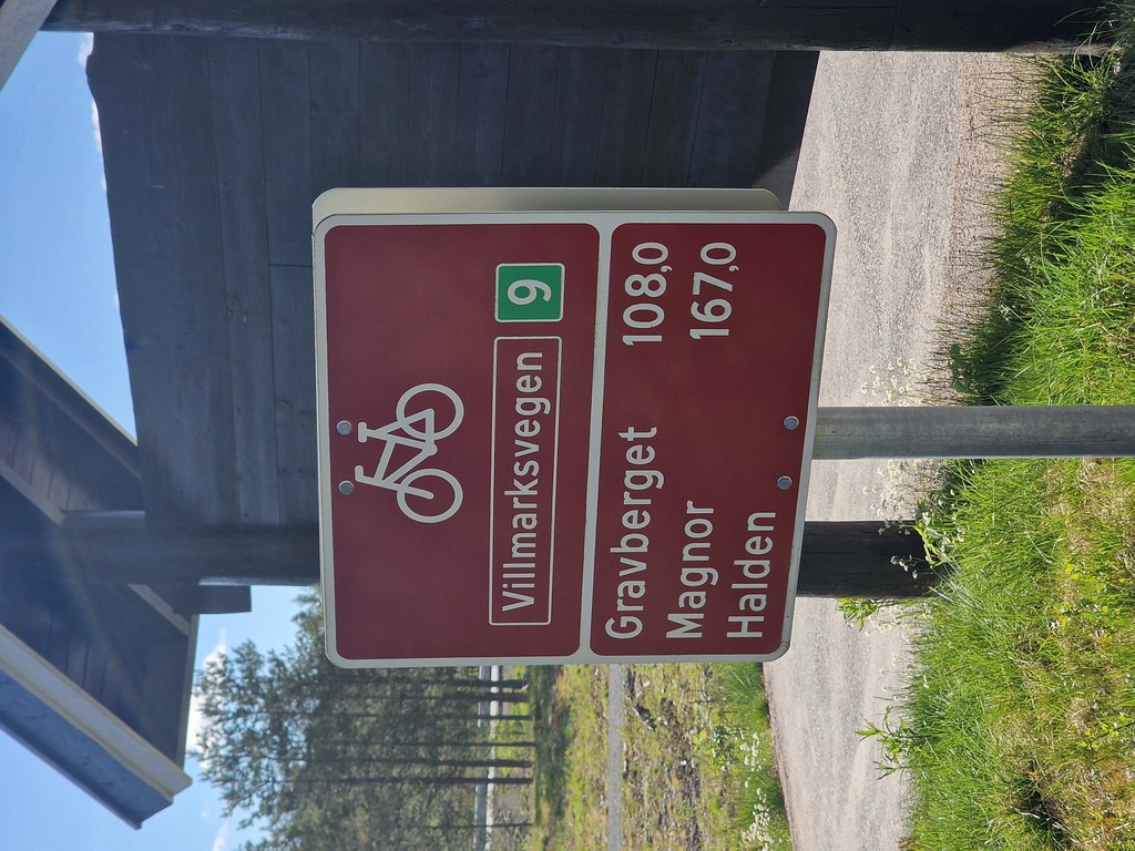 There where surprisingly few of these types of sign, and none of them specified the length to Halden.
As there where some delays out of Oslo, I was a bit behind schedule when I arrived at Trysil Turistsenter. Still, the weather was nice, and the sun wouldn’t set for another three hours. Plenty of time for me to cycle the 30 km to the planned lean-to (gapahuk in Norwegian).
 There has been a lot of log driving throughout the whole route I’m cycling.
Instead of starting down in Trysil city center I stayed on the bus until the next stop, which saved me some altitudes. After passing all the cabins built around the ski resort, it was just straight gravel roads, and wood all around.
I managed to reach my shelter for the night not long before it started raining, and the lean-to was big enough for me to set up my tent inside of it. The night was colder than I had hoped for, especially since I didn’t put up the rain fly, so the air around me got constantly moved around.
 The dinner was luckily served before the rain arrived.
Day two, 108km, 864m - Wonderful weather on straight roads
I was a bit more tired than I hoped for, but at least I knew that my next camping place would be a cabin! Packing down my gear went rather quick, and I found out that packing the tent at the bottom was easier than trying to stuff the sleeping bag there.
The first couple of kilometers was on tarmac before finally hitting the straight gravel roads!
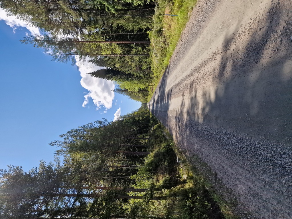 More than half of the distance was on gravel!
There isn’t much to stop and look at out in the forest, other that trees and plants growing. So it’s a nice way to get into the zone and do a little soul-searching.
When I was planning this trip, I wasn’t sure if I would find good places to camp. That was not a problem, there were plenty of nice, quiet lakes, and some of them had a gapahuk next to them. So if you don’t want long days, or would like to take it slow, there are plenty of places to rest.
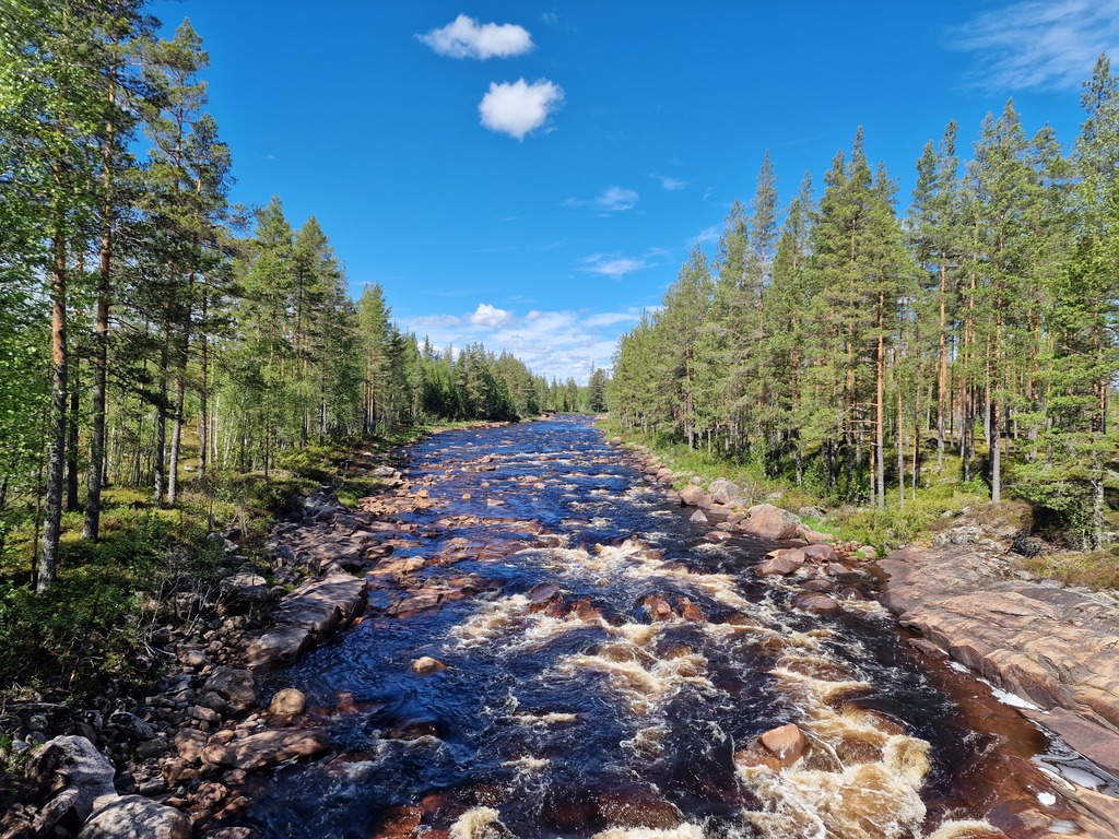 There was a lot of rivers to cross, and I think you could paddle most of them.
At the end of the last day was a small hamlet, with a store, but since it was a ban holiday in Norway (Feast of the Ascension) I was sure it was closed. Luckily I decided to pass by it, and it turned out to be a self-service store! That was such a relief! Mostly because I was tired (after one breakfast) of eating soup. So I got some bread, bread spread, and a dessert! I was pretty tired, and bought way more than I had room for. It was a good thing the cabin I was staying in was just 30m away.
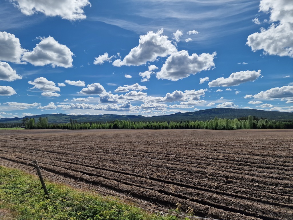 There are so many big farms in this part of Norway.
Arriving at the cabin there were two motorcyclists unpacking their stuf. They were traveling the other direction, and were also ready for a night inside. The cabin was part of the DNT network of unsupported cabins, meaning that you need to have a key, pay a fee (for the night), and then you have access to a bunch of shelters everywhere in Norway. This specific cabin was an old log-driver cabin, so it was just one room, three bunk beds, and what you need to make some food and eat it. And of course a big fireplace to keep warm when it’s cold.
A little bit later six(!) other motorcyclists showed up, hoping that the cabin would be empty. Since three of the beds were already occupied, and their tents didn’t really fit the place outside, they decided to find another place to stay for the night.
It was nice chatting with the motorcyclists.
 You’ll get used to looking at trees.
Day three, 113km, 1518m - Started with rain, ended in sunshine
It had been raining most of the night, and the sky was gray when we woke up. Eating breakfast and looking out on the lake with the rain pouring down wasn’t the most motivating view, but it was still pretty serene.
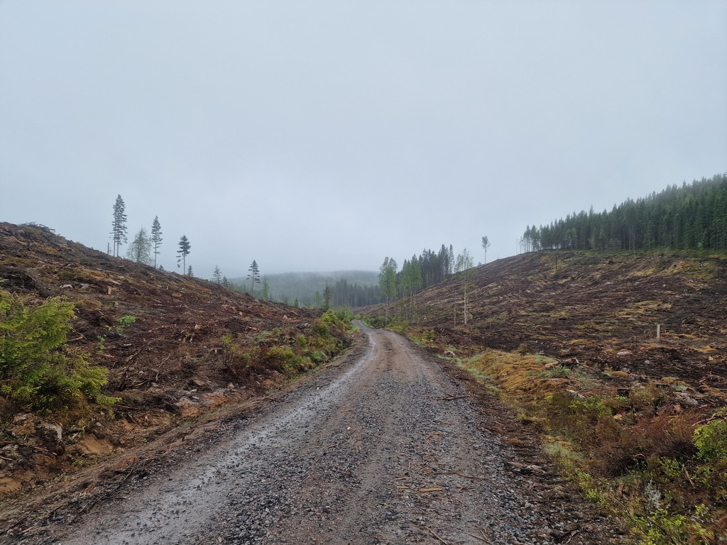 It’s always a bit sad when you end up at huge clear cutting areas in the forest.
I saw it as a good excuse to try out my rain gear, and my new rain skin for my boots. Had some trouble getting them on, but they worked like a charm the whole day! If I hadn’t been sweating inside my shoes, my feet would have been completely dry.
 The view from the cabin, I wasn’t stoked to get out.
The area I was cycling in is called Finnskogen, from the Finnish immigrants in the 17th Century. So I knew that I was in an area with a lot of history about Forest Finns, but sadly there weren’t many landmarks where I could learn more about them. Yesterday I had the opportunity to visit an old settlement, with old houses. Today, other than some Forest Finns flags (which I today learned was made in 2022) there wasn’t anything to see.
What I did learn a lot about, was how the forest was used to help Jews flee under World War 2 over to Sweden!
 Always scary seeing signs your are following crossed out
On my way to my lunch stop, feeling pretty tired and ready for a break, I was supposed to cross a dam. As you can see from the image above, it was closed for maintenance. A sign not in the pictures told cars it was 8 km to the main road, so I was afraid I had a long detour in front of me. I first tried to see if there were any people there that could help me, but they where busy working out of my view. Then I tried to see if I could cross further up, where the river narrowed down, but it looked way too hard and risky. It turned out that I should have just followed the signs from the beginning, as it was just a 4km detour, through a single track in the woods. I’m glad I got the detour, it was nice to be off the gravel road for a bit.
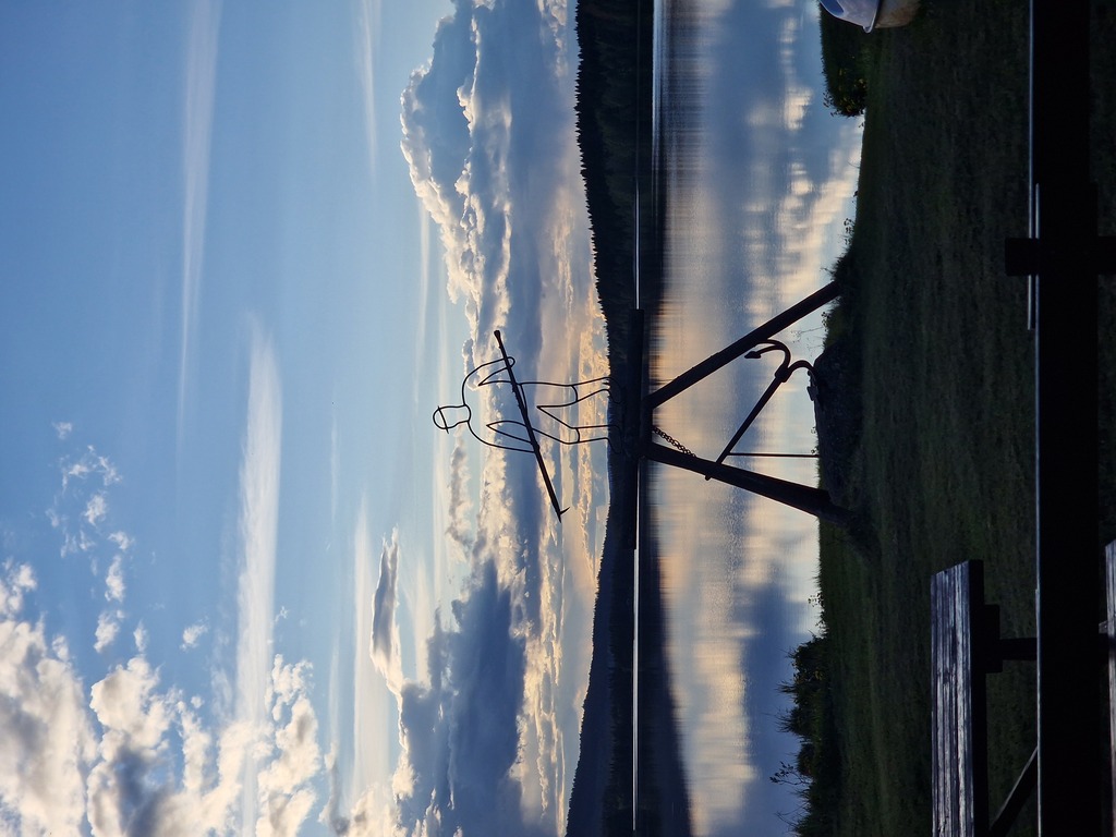
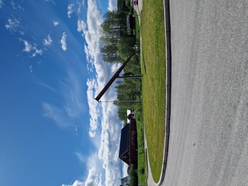 Took a second before I understood what this sculpture outside of Austmarka was.
Even though there were few cars, and I was always in the woods, I didn’t see that many animals. There were two squirrels, two hares, one doe, and a moose (pictured below)! Even though there are a lot of moose in Norway, it’s not often I see them. I would probably see more of them if I didn’t live in the middle of the capital.
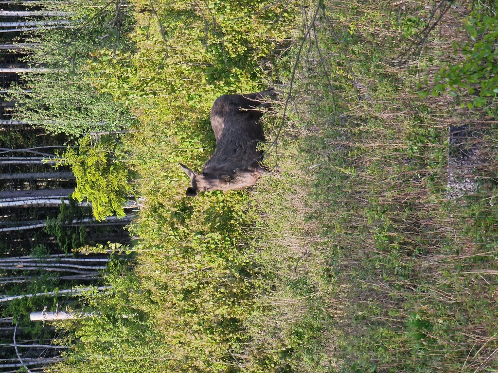 It’s not often you see a moose, and it didn’t run away either.
Day four, 118 km, 1258m - Asphalt all the way
Last day started with bright sunshine, and an easy breakfast next to my tent. I had stayed over at a campsite, so I even got to take a shower before I went to bed last night.
Most of the trip today I would be following the national road number 21, so tarmac all the way to Halden! I was worried there would be a lot traffic, but it turned out to be a pretty pleasant ride, as there was surprisingly few cars on the road. And most of them where heading towards me.
The half-way point was Ørje, that has a big three storied locks channel! There is even a museum there, but I forgot to visit that one this time too. This time I prioritized a sandwich and a beer at a local cafe, sitting outside soaking up the sun!
After lunch, Halden was next! The rest of the trip was pretty uneventful, other than my problem with air leaking from my rear tire. Since I was running tubeless, I was hesitant to give up and switch to a tube, so I ended up stopping every 30 minute or so, to refill my tire. Not sure if I saved any time there.
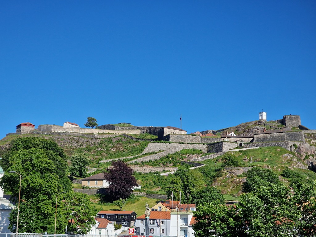 I totally forgot that there is a huge fortress overlooking the city.
I was kinda racing the clock to catch a train earlier than planned, but I manage to arrive at the station just as the train left. Luckily that gave me an hour to do some sightseeing in Halden, and eat a big ice cream. I have never been to Halden before, so when I turned away from the station I was reminded that there is a huge fortress overlooking the city of Halden! So after an ice cream stop, I hike-a-biked the steep hills all the way to the top! Had I planned a little bit better I would have skipped trying to catch the earlier train, and just biked up to the fortress as I entered the city.
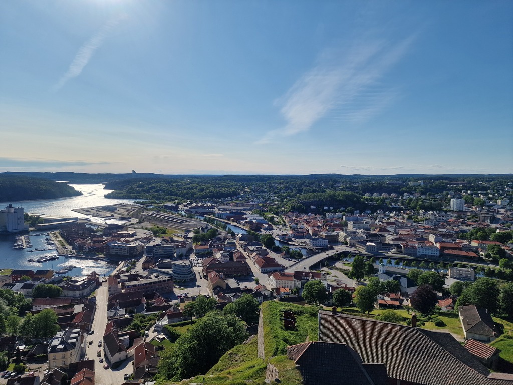 Can recommend using some time to explore the fortress.
After that, it was a relaxing two hour train trip back home.