Tone River
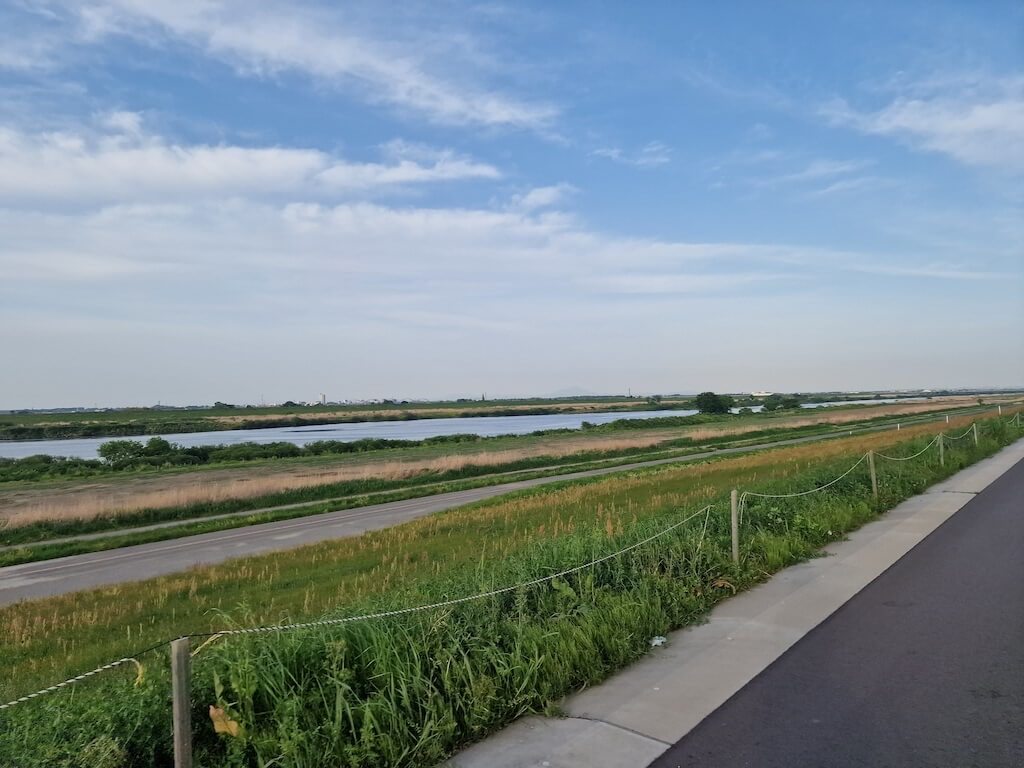 You will get used to this view!
Tone River (also called Tonegawa/Tone-gawa, in Japanese: 利根川) is a 322 kilometer long river north of Tokyo. Next to this river, starting in Shibukawa goes a 220 kilomter long “cycling” path heading to Choshi. The last 10 kilometer or so is on a road shared with cars. The cycling path is constructed on top of the banks following the river.
 Yet another bridge blocking the path.
While it’s true that the cycling path is free for cars, it doesn’t mean it’s one long strench! There are plenty of bridges crossing the banks, so you either need to ride down and up the bank, or cross the bridge (where possible). The bank can also just suddenly end, meaning you need to get on the road to get to the next part of the cycling path. There is also plenty of places where cars cross the cycling path, meaning there are plenty of barriers you need to avoid.
Verdict (TL;DR)
I would not really recommend cycling the whole route, but the first 50 kilometers was really nice. This is because you will be going down and up the banks, and cycling against the head wind (if you cycle toward the ocean) most of the time. The view is also not that spectacular for most of the trip, as it’s mostly flat farmland (a lot of rice fields).
The route
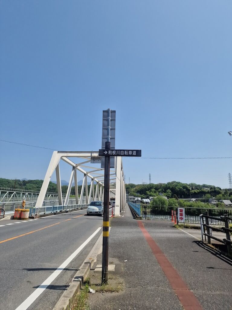 The sign says “Tonegawa bicycle path”.
My trip on Ride With GPS.
My recommendation for the route as a GPX-file.
I tried to follow the Biketourjapan.com route for this trip, but it was a bit outdated. That’s why I’ve tried to make my own route, which I know will be outdated this year, as there was a lot of construction the last half of the route. So it’s just going to get better cycling the banks.
The route is 248 kilometers long, including a trip to the Inubosaki lighthouse. You can shave the route down to 235 kilometers if you skip the lighthouse visit. Cycling towards the ocean from Shibukawa, starting around 170 meters above sea level you will be descending over 600 meters! There will be some hills, but most of these are from getting back up on the river banks. Still, it all add up to around 450 meters!
Transportation
I took a morning bus from Shinjuku station to Shibukawa using Japan Expressway Bus (the site may have service hours!). It cost me ¥500 to bring my bike. This was the most practical transport for me, as it didn’t have any transits on the way. On the way home I took the train from Choshi via Chiba till Tokyo.
PS: You need a rinko bag (輪行袋) to bring you bike on most transportation in Japan.
Challenges
The main challenge was the head wind I was cycling in for most of the journey, starting from around Honjo. Other challenges was all the down and up from the banks, and finding the right bank or trail to ride on. As other rivers joins the Tone river you can’t stay on the same bank all the time, meaning you need to find the right bridge to cross over. There are also several parks that you cross on the way, and not all of them was easy to navigate.
 Yet another blockage, luckily it was easy to get down to the dam and walk over.
You also need to plan you stops for eating, there are very few restaurants or convenience stores that you can see from the cycling path. I did not factor this in on my first day, and ended up eating too little, so the next day I had several marked on my map in case I got hungry.
My trip
Cycling Tone river was one of the last thing I did on my four weeks trip to Japan in 2023. I had originally not planned to cycle any more after my Kyushu trip, but I ended up with two extra days, so why not try to find a trip near Tokyo. After some research, I found a list river paths from BiketourJapan.com, and since Tone river was the longest, I had to try that one!
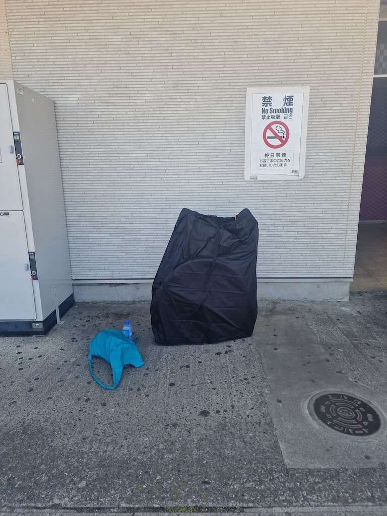 My bike in a rinko bag, and my backpack with all my gear for the two day trip
Since I had to take my bike on a bus and trains, I needed to buy my self a rinko bag. Mine is a Ostrich SL-100, and it was pretty easy to use! Both wheels needs to be taken off, but it comes with three straps to fasten the wheels to the frame. There is also a should strap for easy carrying. To make it even safer I ended up loosen my rear derailur, so it was inside the frame instead of sticking out.
I planned to sleep on a hotel on the trip, so I only brought one spare of clothes, and my eBook reader, Kobo. As you can see in the image above, all my gear fitted in my small backpack, but to avoid carrying everything on my back the whole trip I also brought a small frame bag and a small handlebar bag. I kinda wish that I brought the bigger handlebar bag, instead of the two small bags. As I didn’t need anything from the bags while I was riding, and it would have made it easier when I got to the hotel and on the transportation.
Day one - Shibukawa to Kashiwa
Strava acitivty
Strava activity for the final hotel
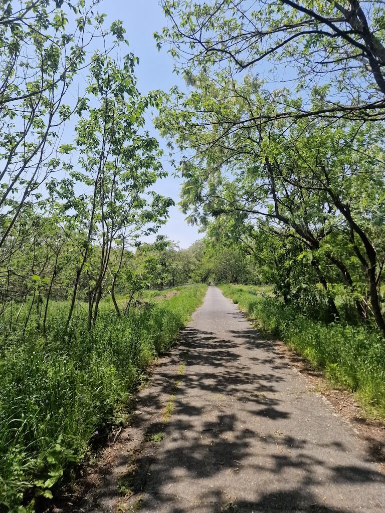 There is a really nice narrow path around a golf park in the beginning.
I took the express bus to Shibukawa station, and after assembling my bike, I was off! Finding the starting point for the route was easy, and the first 50 kilometers was biking through forest. Which was really nice! There are signs guiding you, if you can read Japanese, and a count down of how far away the ocean is. The count down is every 500 meters or 1000 meters, not really inspiring for me, but it did help the motivation when I was nearing the end of the route!
After about 30 kilometers you have to take a 15 kilometers detour as Karasu river meets Tone river. It was a nice stretch to ride, but it would been nice with a little bridge to avoid the detour.
The plan was to stay in Clearview golf Club & Hotel in Noda, but it was full (same with the ryokan next to it), so I ended up cycling another 5 kilometers to Sakura Sky Hotel in Kashiwa. Which I’m glad I did, cause it was cheaper, had a public bath (which was great after a long ride), simple breakfast, and a Chinese restaurant right around the corner was open till 22:30!
 I wish I had cycled the other way so I could had ridden into the sunset, instead of away from it.
Day two - Kashiwa to Choshi
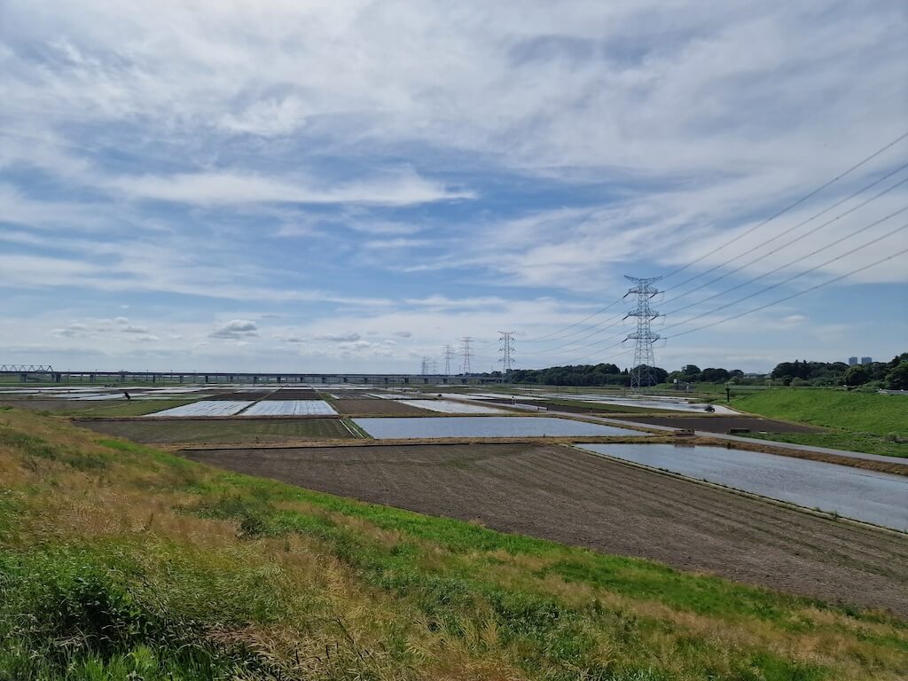 You will see plenty of rice fields while cycling down Tone river.
The second day started with heavy feet, but I managed to cover quite some distance before the head wind from the ocean made me cycle in half my usual speed. Path finding was easier, giving more flow to the riding. Sadly the last 15-ish kilometers was mostly on car roads, meaning noise and up and down from the side walk to avoid (blocking the) traffic.
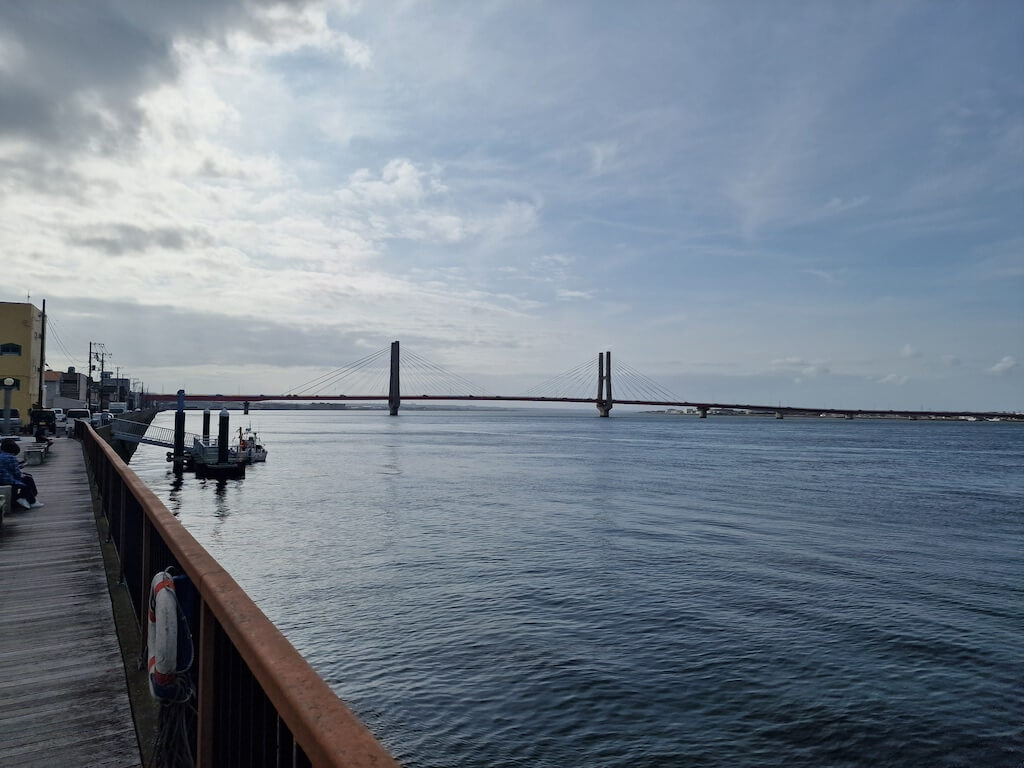 So many bridges crossing this river!
Arriving at Choshi felt a bit anti-climatic as there is no obvious end point, so I decided to ride down to Inubosaki lighthouse. Which is supposedly the place in Japan where the sun rises earliest, so it is a popular place to travel to on New Years eve to see the first sunrise of the year.
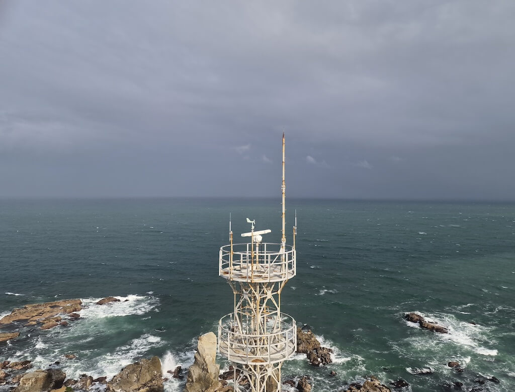 After more than 250 kilometers I reached the lighthouse!
After my short visit to the lighthouse (which I forgot to take a picture of), I headed back to Choshi train station. I was 10 seconds too slow catching the first train back to Tokyo, because I was unsure of taking the train or a bus. Luckily it was only 20 minutes to wait for the next train, meaning I had time to buy some food for the road.